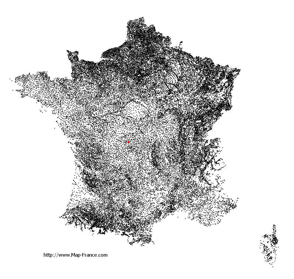
La Celle-Dunoise on the relief France map in Lambert 93 coordinates
|

See the map of La Celle-Dunoise in full screen (1000 x 949)
|
At left, here is the location of La Celle-Dunoise on the relief France map in Lambert 93 coordinates.
Here are the altitudes of La Celle-Dunoise :
- Town hall altitude of La Celle-Dunoise is 246 meters
- Minimum altitude of La Celle-Dunoise is 216 meters
- Maximum altitude of La Celle-Dunoise is 392 meters
- Medium altitude of La Celle-Dunoise is 304 meters
Here are the altitudes of Guéret, prefecture of Creuse department:
- Town hall altitude of Guéret is 431 meters
- Minimum altitude of Guéret is 350 meters
- Maximum altitude of Guéret is 685 meters
- Medium altitude of Guéret is 518 meters
Here are the altitudes of the french biggest cities:
Paris : 33 meters
Marseille : 20 meters
Lyon : 237 meters
Toulouse : 146 meters
Nice : 10 meters
Nantes : 20 meters
Strasbourg : 144 meters
Montpellier : 35 meters
Bordeaux : 16 meters
Lille : 20 meters
Rennes : 35 meters
Reims : 83 meters
Click here for the terrain map of La Celle-Dunoise in full screen:
Relief map of La Celle-Dunoise
|
This relief map of La Celle-Dunoise is reusable and modifiable by making a link to this page of the Map-France.com website or by using the given code :
|
Terrain base map of La Celle-Dunoise
|

See the terrain base map of La Celle-Dunoise in full screen (1000 x 949)
|
Small relief base map of La Celle-Dunoise

|
This base map of La Celle-Dunoise is reusable and modifiable by making a link to this page of the Map-France.com website or by using the given code :
|
Map of La Celle-Dunoise with regions and prefectures
|
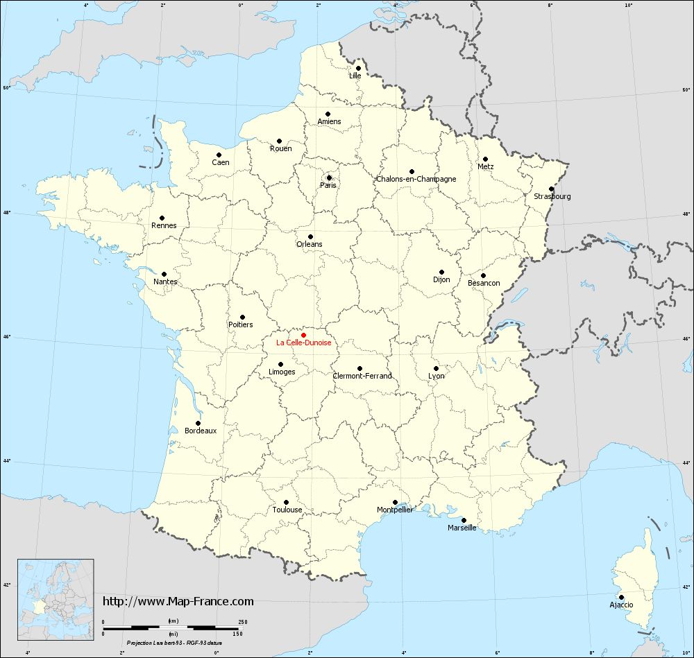
View the map of La Celle-Dunoise in full screen (1000 x 949)
|
You will find the location of La Celle-Dunoise on the map of France of regions in Lambert 93 coordinates. The town of La Celle-Dunoise is located in the department of Creuse of the french region Limousin.
Geographical sexagesimal coordinates / GPS (WGS84):
Latitude: 46° 18' 35'' North
Longitude: 01° 46' 12'' East
Geographical decimal coordinates :
Latitude: 46.311 degrees (46.311° North)
Longitude: 1.77 degrees (1.77° East)
Lambert 93 coordinates :
X: 6 053 hectometers
Y: 65 796 hectometers
Lambert 2 coordinates :
X: 5 564 hectometers
Y: 21 457 hectometers
Below, the geographical coordinates of Guéret, prefecture of the Creuse department:
Geographical sexagesimal coordinates / GPS (WGS84):
Latitude: 46° 10' 14'' North
Longitude: 01° 52' 06'' East
Geographical decimal coordinates :
Latitude: 46.169 degrees (46.169° North)
Longitude: 1.875 degrees (1.875° East)
Lambert 93 coordinates :
X: 6 127 hectometers
Y: 65 640 hectometers
Lambert 2 coordinates :
X: 5 638 hectometers
Y: 21 301 hectometers
|
This map of La Celle-Dunoise is reusable and modifiable by making a link to this page of the Map-France.com website or by using the given code :
|
Map of La Celle-Dunoise with departments and prefectures
|
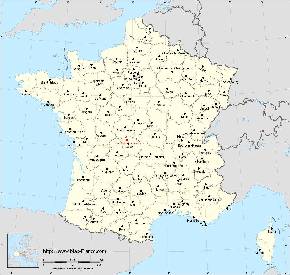
Voir la carte of La Celle-Dunoise en grand format (1000 x 949)
|
Here is the localization of La Celle-Dunoise on the France map of departments in Lambert 93 coordinates. The city of La Celle-Dunoise is shown on the map by a red point.
The town of La Celle-Dunoise is located in the department of Creuse of the french region Limousin.
The latitude of La Celle-Dunoise is 46.311 degrees North.
The longitude of La Celle-Dunoise is 1.77 degrees East.
Here the distance between La Celle-Dunoise and the biggest cities of France:
Distances are calculated as the crow flies (orthodromic distance)
Distance between La Celle-Dunoise and Paris : 286.52 kilometers
Distance between La Celle-Dunoise and Marseille : 440.34 kilometers
Distance between La Celle-Dunoise and Lyon : 244.17 kilometers
Distance between La Celle-Dunoise and Toulouse : 302.3 kilometers
Distance between La Celle-Dunoise and Nice : 519.33 kilometers
Distance between La Celle-Dunoise and Nantes : 272.32 kilometers
Distance between La Celle-Dunoise and Strasbourg : 515.58 kilometers
Distance between La Celle-Dunoise and Montpellier : 342.78 kilometers
Distance between La Celle-Dunoise and Bordeaux : 244.68 kilometers
Distance between La Celle-Dunoise and Lille : 488.69 kilometers
Distance between La Celle-Dunoise and Rennes : 328.06 kilometers
Distance between La Celle-Dunoise and Reims : 368.31 kilometers
Clic here to see the map of La Celle-Dunoise in full screen:
La Celle-Dunoise on the map of french departments
|
This administrative map of La Celle-Dunoise is reusable and modifiable by making a link to this page of the Map-France.com website or by using the given code :
|
Administrative base maps of La Celle-Dunoise
|

See the administrative base map of La Celle-Dunoise in full screen (1000 x 949)
|
Small administrative base map of La Celle-Dunoise
|
This base map administrative of La Celle-Dunoise is reusable and modifiable by making a link to this page of the Map-France.com website or by using the given code :
|
 French Version : http://www.cartesfrance.fr